All your trips on one map
Upload your photos and Trailroll pins each one where it was taken, using the location saved in the file.
Continue with Google
Free for your first 500 photos.
No credit card needed.




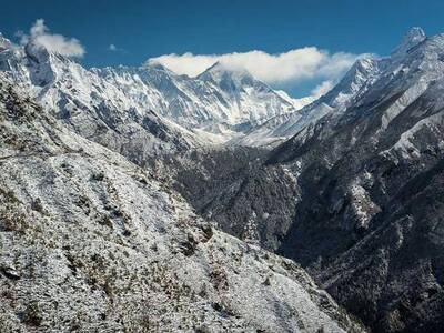
Santorini, Greece36.3932° N · 25.4615° ELocation from photo metadata
HOW IT WORKS
- 01
Upload photos
From your phone or computer. JPEG, HEIC and PNG all work.
- 02
We find the place
We read the coordinates and capture date from the file. No geotag? We suggest a spot by date, or you pin it yourself.
- 03
See and share your map
Photos group into trips by date. Share your map with a link, embed it on your blog, or print it as a poster.
Common questions
- What if a photo has no location?
- We suggest a place based on when it was taken and your other photos, so you only need to confirm it. Or pin it on the map yourself.
- Who can see my map?
- Only you, until you share a link.
- Can I put my map on my website or blog?
- Yes. Turn on your public link, open Share map and copy the embed code into your site. Visitors can explore your trips and open photos right on your page. The embedded map follows the same trips and privacy settings as your link.
- How much does it cost?
- Trailroll is free for your first 500 photos. Plus removes the limit for $24.99 a year or $3.99 a month. Printed posters of your map start at $39.